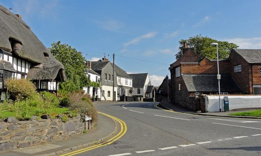
 The village (previously also known as Cropstone or Crapstone) originally grew around a crossroads near to one of the entrances to Bradgate Park (in the present-day Causeway Lane).
 The pace of change was slow. In 1740 and throughout the 1800s there were about 26 houses in the village. Most were either farm houses or very small cottages for farmworkers or framework knitters.
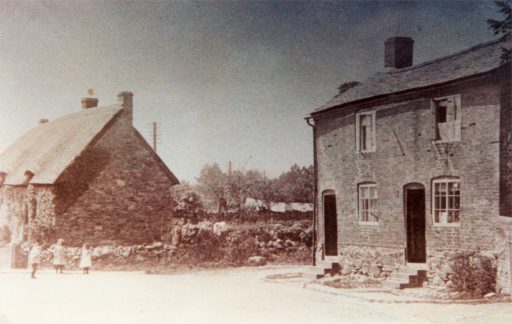
Picture: "The Thatch" (left) and Corner Cottage in around 1900-1910. Both were originally 3 small cottages.
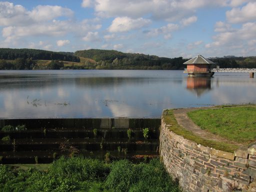 The landscape near Cropston was transformed when Cropston Reservoir was built between 1866 and 1871 to supply of clean water for Leicester’s rapidly growing population.
Cropston farmers lost large parts of their land. The approach to Bradgate House from Causeway Lane was flooded.
Different types employment were available in the new waterworks. Villagers worked as engine drivers, engineers, stokers and labourers.
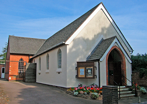 Cropston has never had a parish church in the village. It has always belonged to the parish of Thurcaston (more recently renamed Thurcaston and Cropston).
In the mid 1800s non-conformists were meeting in a house in the village and in 1879 Cropston Chapel was built.
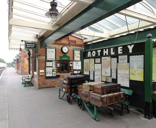 In 1899, Rothley station was opened on the Great Central Line and provided easier access to Loughborough, Leicester and beyond.
Cropston's Main Street was renamed Station Road.
The character of Cropston changed as new large houses were built for professionals who worked in Leicester and wanted to live in the country.
Between 1901 and 1911 the population grew from 191 to 345.
 Between 1922 and 1928 the Grey family sold off their Bradgate Estate. This included a large part of the Cropston area.
The parcels of land between the original village and Rothley station were sold off for housing.
Between 1911 and 1931 the population rose from 345 to 909.
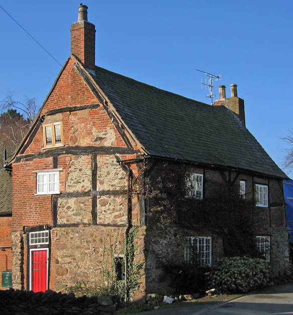
Picture: The Gate House in Causeway Lane checked visitors using this entrance to Bradgate Park.
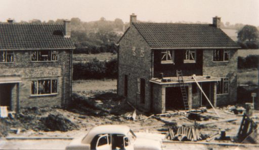
The village expanded further when Latimer Road was built in the 1950s and later Waterfield Road.